Beaches of Connemara
OMEY ISLAND
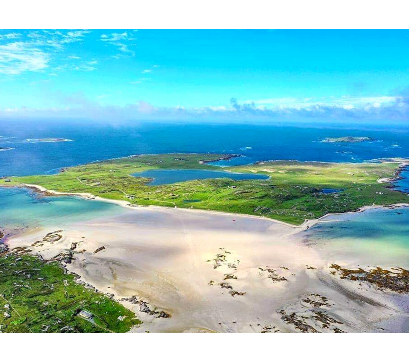
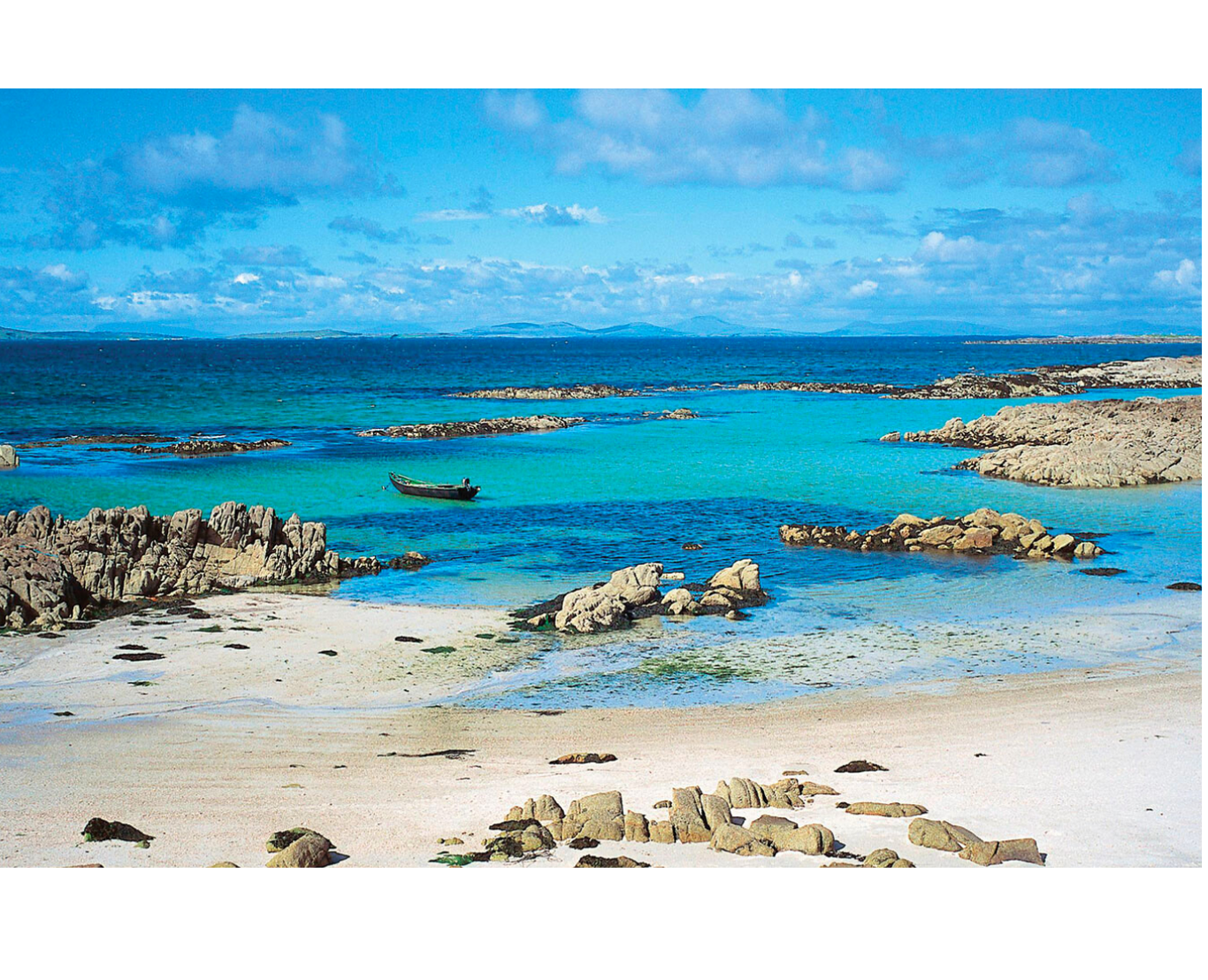
When the tide is out, Omey Strand, at Claddaghduff, is one of the largest beaches in Connemara. The strand is popular with walkers and offers the very unique experience of being able to cross onto an Island by car, bicycle, or foot. Be sure to check the tide timetable beforehand, as the tide may close behind you!
Omey Strand & Island are one of the Wild Atlantic Way Signature Discovery Points, such is the beauty of the Coastline, the Island and the Beach.
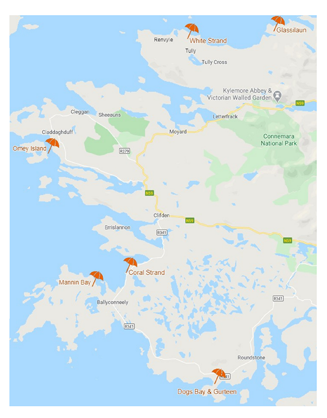
From Clifden take the N59 towards Letterfrack/Westport. 5 kilometres from the town, just after Streamstown Bay, take the left turn signposted for Claddaghduff and Omey. Follow the narrow road along the Bay until you reach Claddaghduff Church. Here, take the left, signposted to Omey Strand car park. After a day on the beach, the Strand Bar in Claddaghduff village has stunning views back over the Island – a must visit when in the area.
GOOGLE MAPS COORDINATES: 53°31’43.4″N 10°09’55.6″W
GLASSILAUN
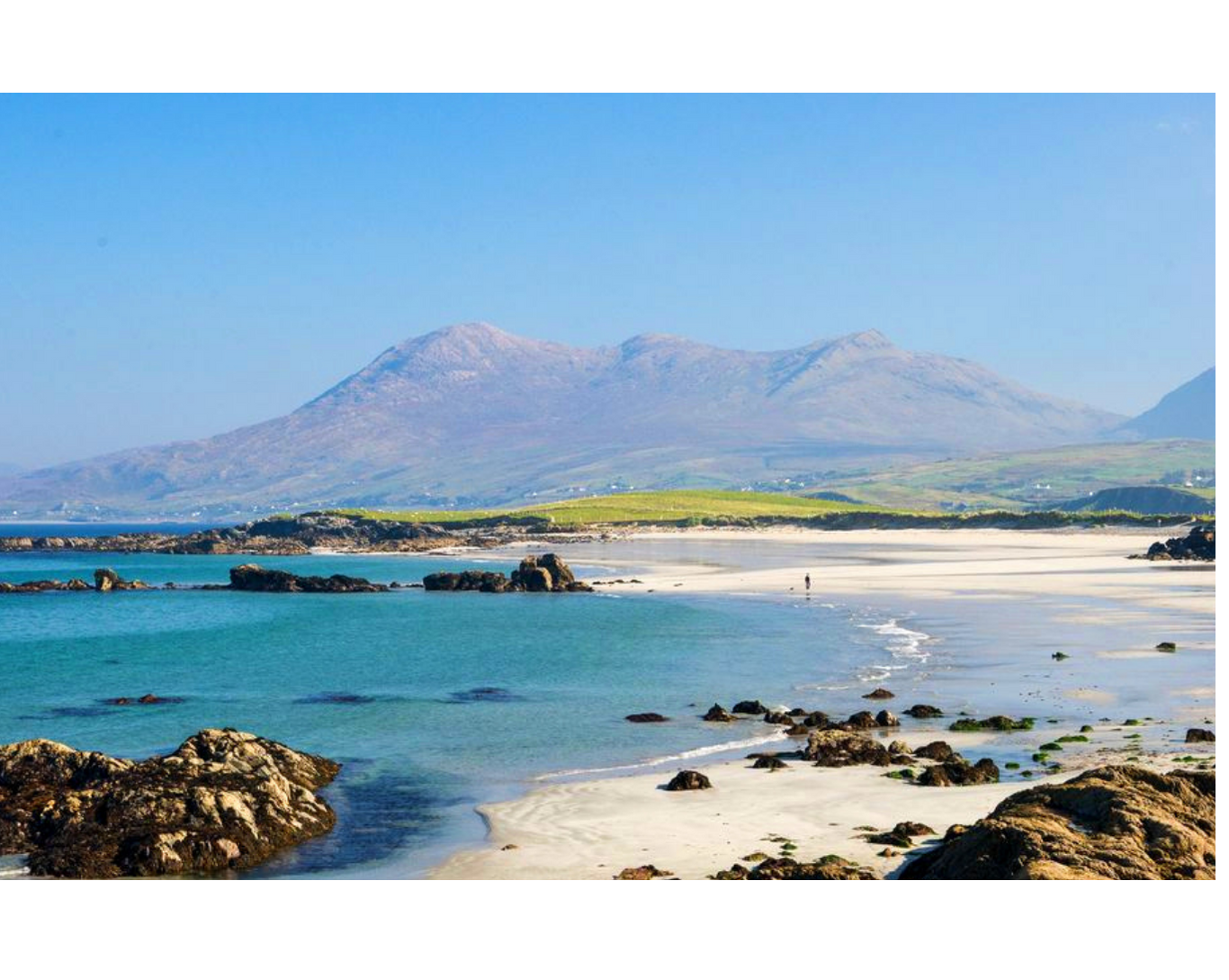
Glassilaun is a beautiful white sandy beach situated between Tully Cross and Killary Fjord. The water here is fresh and clear and it is popular for swimming, snorkelling, and walking. Nearby Scuba West offer a range of Diving Expeditions in the surrounding water, such is the clarity and variety of Marine life. The Beach is sheltered by Mweelrea Mountain, which is an impressive backdrop. Car parking is available adjacent to the beach.
From Clifden take the N59 to Letterfrack. In the village of Letterfrack, take the left turn at the crossroads and go as far as the village of Tully Cross. On arriving in Tully Cross, you will see a church on your right, take a right turn here and continue down the hill in front of you (keeping the thatched cottage to your left side). This narrow winding road is a 7km drive from Tully Cross to the Beach and you will only need to make one left turn, for Scuba West, to find yourself at the Glassilaun Carpark.
GOOGLE MAPS COORDINATES: 53°36’53.2″N 9°52’46.2″W
WHITE STRAND RENVYLE
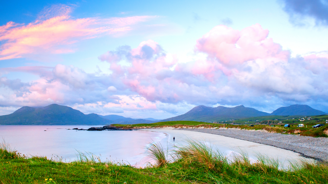
The White Strand is a lovely beach with more spectacular views across to Mweelrea mountain in Mayo. There are in fact two beaches separated by a small hillock. This hillock can be traversed, or you can take the grass pathway around the back of it. White Strand is a beautiful beach to walk; it is the perfect length for an afternoon stroll and has the best view of any beach in the area.
From Clifden take the N59 to Letterfrack. In the village of Letterfrack, take the left turn at the crossroads and go as far as the village of Tully Cross. On arriving in Tully Cross, keep the church to your right, and continue straight through the village, up the hill, and through the village of Tully (different to Tully Cross). 4km up this road and only 300m after the Camping Park, you will see a right turn for the Beach and Carpark.
GOOGLE MAPS COORDINATES: 53°36’26.2″N 9°59’20.9″W
DOGS BAY & GURTEEN
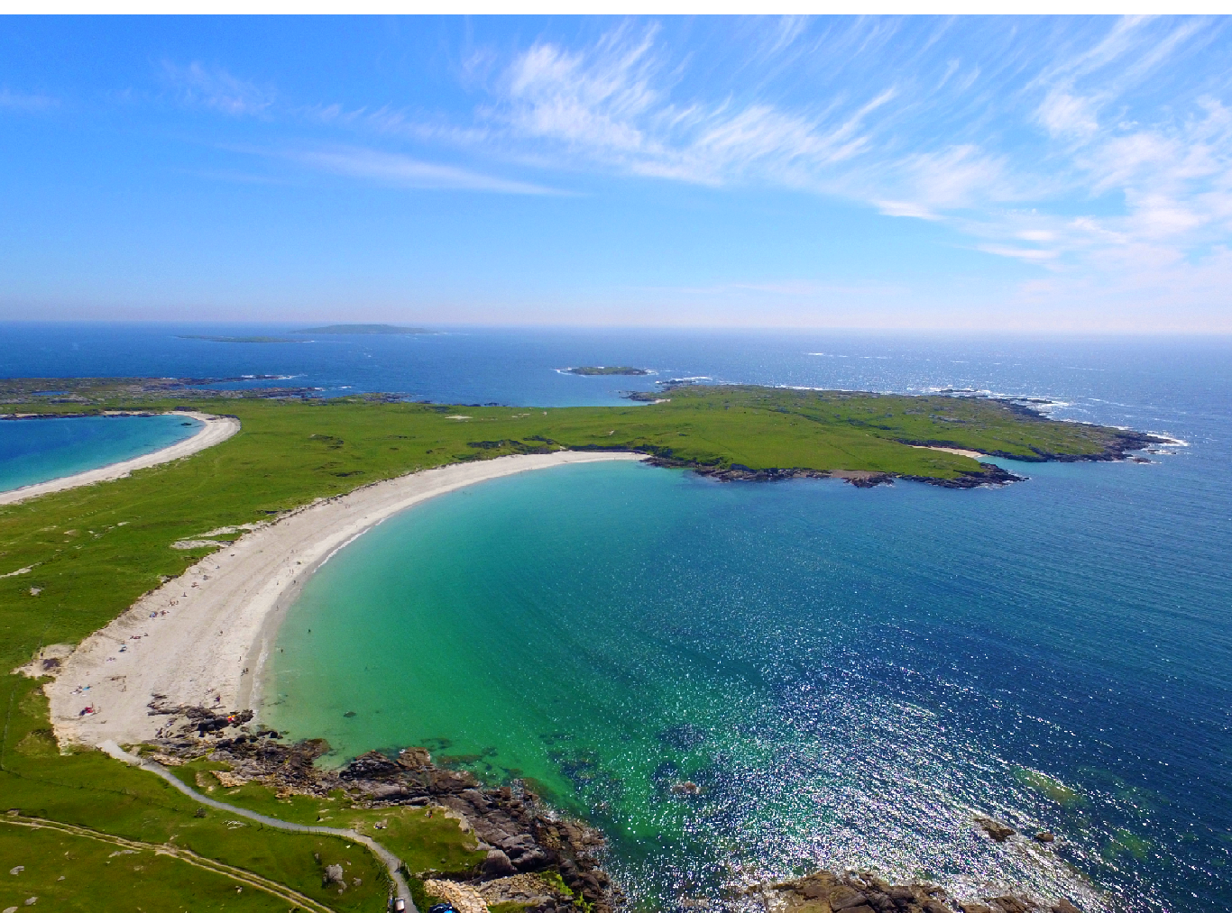
Just outside the village of Roundstone are two of the finest beaches in Ireland. Gurteen Beach and Dog’s Bay lie back-to-back forming a tombolo jutting out into the Atlantic Ocean. Dog’s Bay is a spectacular horseshoe shape with a long stretch of fine white sandy beach.
Both beaches are well sheltered from currents boasting crystal clear waters and are considered safe for swimming for all ages, particularly Dog’s Bay. The beach is naturally protected by the headland which it faces to the south and this is a very popular destination for holidaymakers in the summer.
From Clifden, head south towards the village of Roundstone along the Ballyconneely Road. This easy to navigate route is 20km. Each of these beaches has a parking area and it is Dogs Bay that you will come to first. Roundstone is close to Connemara’s Gaeltacht region, so the sign will be in Irish as Trá Chuan an Mhada.
GOOGLE MAPS COORDINATES: 53°22’46.9″N 9°57’41.2″W
MANNIN BAY
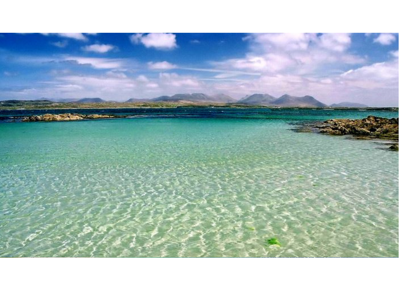
Mannin Bay to the southwest of Clifden is an ideal launch point for a range of water-based activities, in a safe controlled environment.
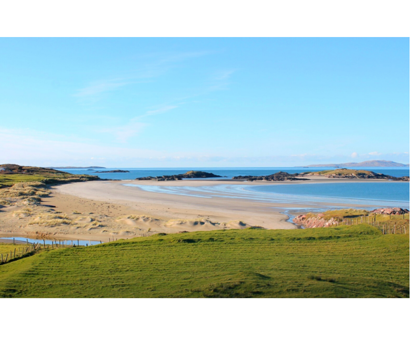
The bright white sand of the area allows a clear view of the marine life passing underneath – be sure to look down as well as around you. Real Adventures are a Water Sports Operator and can introduce you to snorkelling, kayaking, stand up paddle boarding, and more. To avoid disappointment you are advised to contact and book in advance (0851462526)
Take the Ballyconneely road from Clifden and after about 8.5km, beyond the Coral Strand but before you reach Ballyconneely village, turn right towards Mannin Lodge B&B and the Connemara Sands Hotel. Go along this road for 2 km until you come to a fork – stay right and then watch out for a gate on your right hand side with space for a few cars to pull in. Through this gate there is a worn track which leads you to the beach.
GOOGLE MAPS COORDINATES: 53°26’37.0″N 10°05’29.0″W
CORAL STRAND
Located at the edge of Mannin Bay before the village of Ballyconneely, the Coral Strand is the closest and easiest of these beaches to reach. This is a beautiful beach with different sized coral fragments and an assortment of seashells on show. A lovely location for swimming, paddling, and exploring the rugged rock pools. A favourite for families for its convenience, this roadside beach has a car park beside it and is a short journey from Clifden or onward to Ballyconneely.
From Clifden, drive 10 minutes out the Ballyconneely Road. The Coral Strand is the second sandy bank you meet, right along the roadside. There is a sign post to mark the spot.
GOOGLE MAPS coordinates: 53°26’48.0″N 10°03’41.4″W
