Walk Connemara
BEACH ROAD & CLIFDEN CASTLE
5KM LOOP
DIFFICULTY: EASY
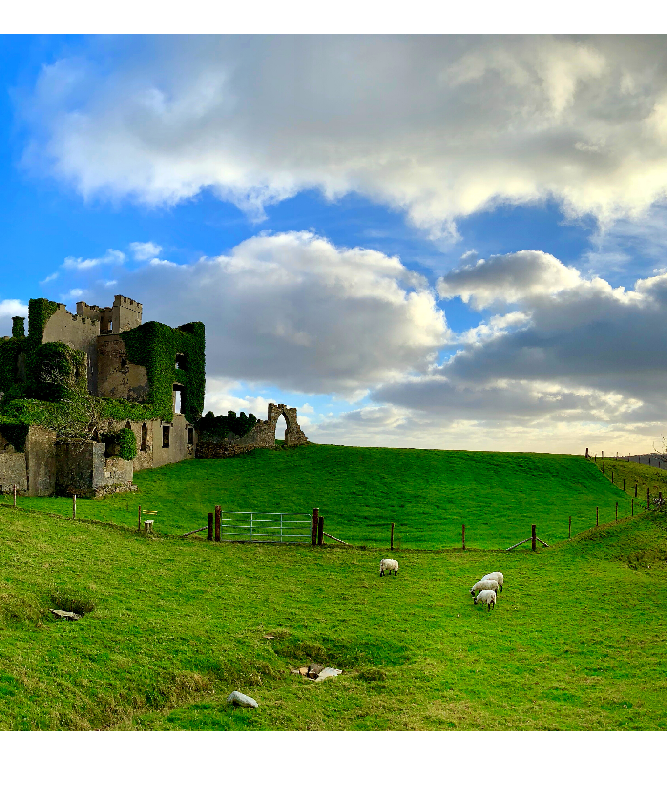
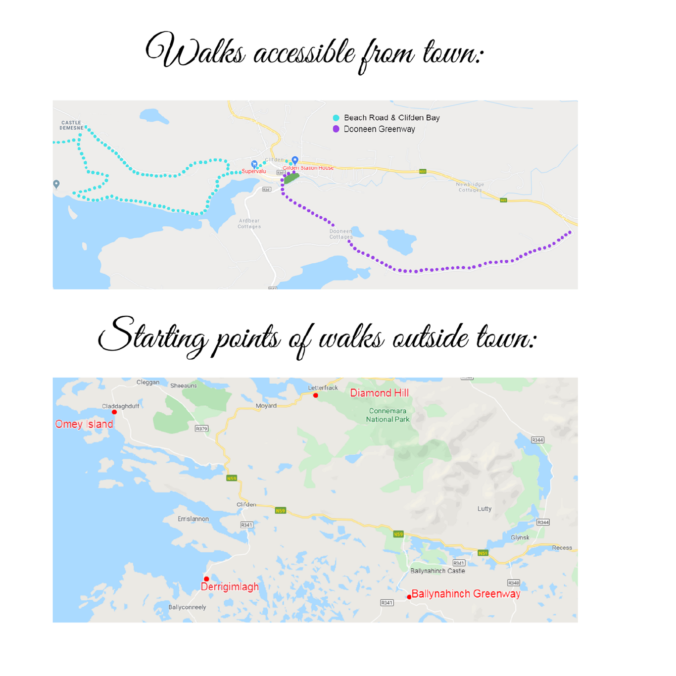
This walk is accessible from the Hotel. Make your way to Clifden Harbour and follow the Beach Road along the water for 2km to Clifden Beach and Boatclub. At the end of the Beach Road there is a right turn up a winding hill. Follow this road for 1km, after which you arrive at the gate to Clifden Castle, appearing on your left under a Granite archway.
To get to the Castle, walk through the arch and stroll along the trail edged with a series of five standing stones. You will be led downhill and to the right to discover a magnificent view of Clifden Bay and Clifden Castle, which was built by Clifden’s founder John D’Arcy circa 1810 and was once his residence. Spend some time here exploring amid the ruins of D’Arcy’s splendid home (exploring inside the castle is not advised). When finished in the Castle, return to the Granite Arch and head East back towards Clifden, beautifully framed by the 12 Bens Mountains in the distance.
DOONEEN GREENWAY
TOTAL DISTANCE: 12km
DIFFICULTY: EASY
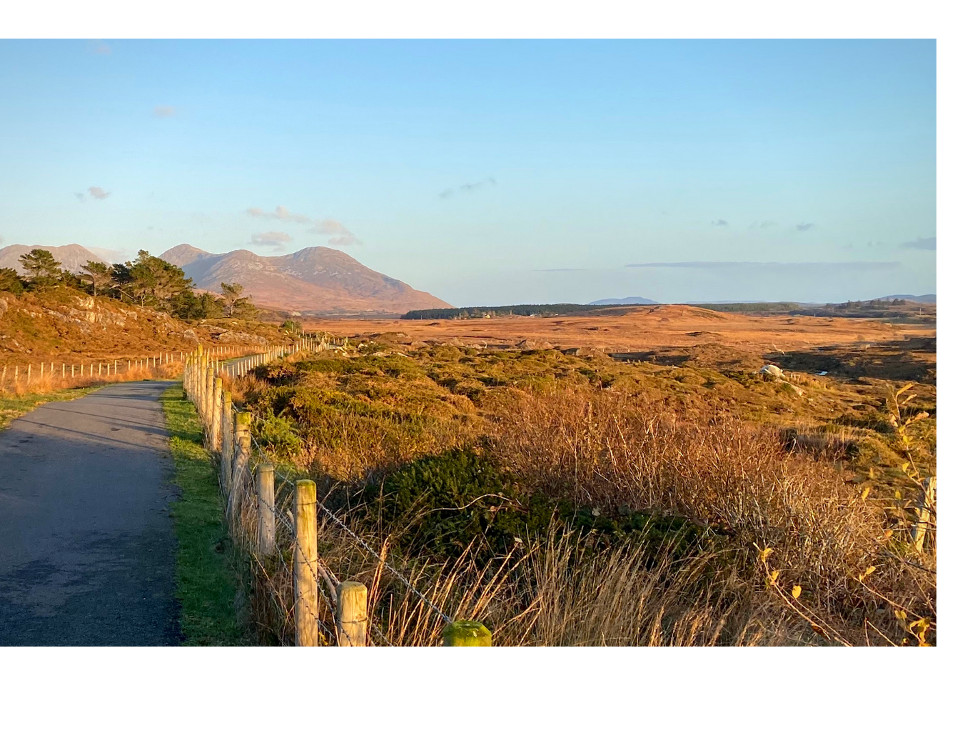
This walk starts at the Ardbear Bridge at the waterfall in Clifden town, and is currently 12km in total (6km to the end, and 6km back to Ardbear bridge). The walk is marked and signposted as a walking route.
Cross over the small stone bridge and onto the Dooneen Road at the edge of Clifden town. This is a very enjoyable walk, offering views of The Twelve Bens, Salt Lake, Errisbeg Hill and the Roundstone Bog. Follow the way markers onto the newly developed Greenway route which is just for walkers and cyclists.
This is the first completed part of the proposed Connemara Greenway which will link Clifden and Galway, mostly along the old Railway line.
DERRYGIMLAGH DISCOVERY POINT
TOTAL DISTANCE: 5KM LOOP
DIFFICULTY: EASY
To get to the start of this walk, you must drive 5km from Clifden along the Ballyconneely Road, where you will see the carpark to your left. We do not recommend walking this portion, as the road is dangerous on foot.
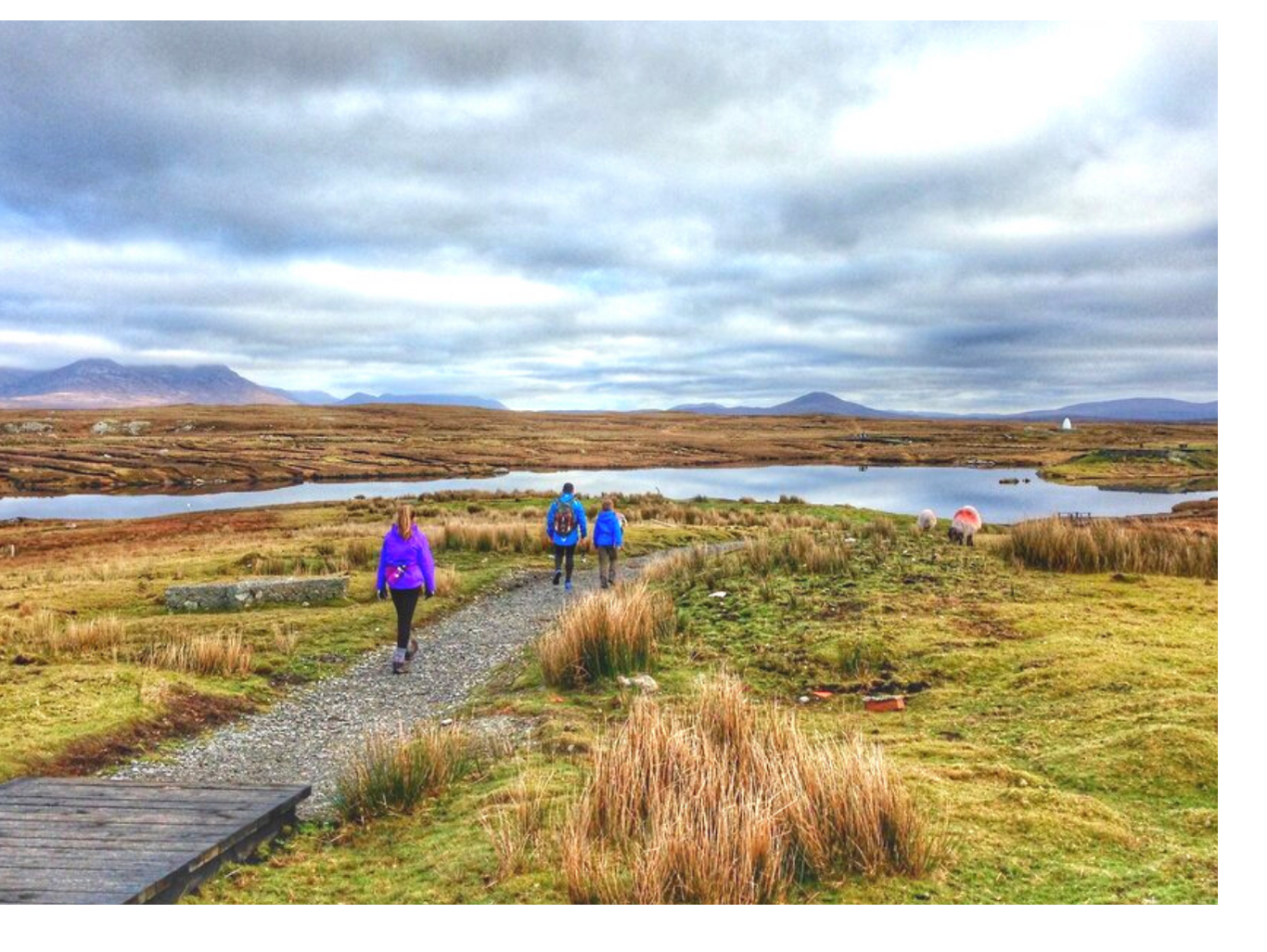
The Derrigimlagh Discovery Point walking loop provides visitors with a five kilometre trail through an area of outstanding natural beauty within the Derrygimlagh Bog. Visitors can discover the stories of this famous site and its history. The walk is made all the more interesting by a number of features along the route, which are designed to engage visitors and encourage them to interact with the history of the location. Pilots John Alcock and Arthur Whitten Brown crashed-landed in the bog in 1919 after completing the world’s first transatlantic flight. They landed close to a wireless telegraphy station which had been set up 14 years earlier by Italian inventor, Guglielmo Marconi. This is where the first Transatlantic telecommunication took place.
Wander around tiny lakes and peat bogs, and discover this unique and beautiful area.
OMEY ISLAND WALK
8KM RETURN
DIFFICULTY: EASY
To get to the start of the walk, drive to Claddaghduff, which lies 10km to the North West of the hotel. Leave Clifden via the Westport road, and approximately 4km outside Clifden, just after Streamstown Bay, take the left turn signposted for Claddaghduff & Omey Island.
The walk starts at the car park at the edge of Omey Strand, which can be reached by taking the left turn at the Church in Claddaghduff.
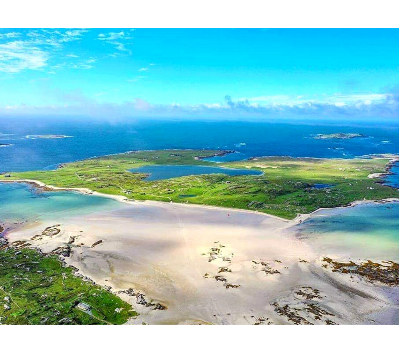
Step out onto the strand and follow, for the first 300 metres, the line of signposts in the sand; Connemara’s only sub-sea road. The island, one mile square, is stretched out in front of you. An easy three-to-four hour walk, it features beautiful sand dunes, rare grassland, the remains of an ancient church and houses, a holy well, and birdlife. The distance is about 8km with some gentle climbing. A minor grass hemmed road leads you from the East to the South-West of the Island, but the best of the scenery lies closer to the perimeter of the Island. Go off-piste for real reward.
This walk offers a memorable experience of the Wild Atlantic Way, with the ocean sweeping over the rugged edges of the coast & panoramic views of 5 of Connemara’s other Islands; Inisturk, Inisturbot, Crough, High Island, & Friar Island.
DIAMOND HILL
3KM/7KM LOOPS
DIFFICULTY: MODERATE – HARD
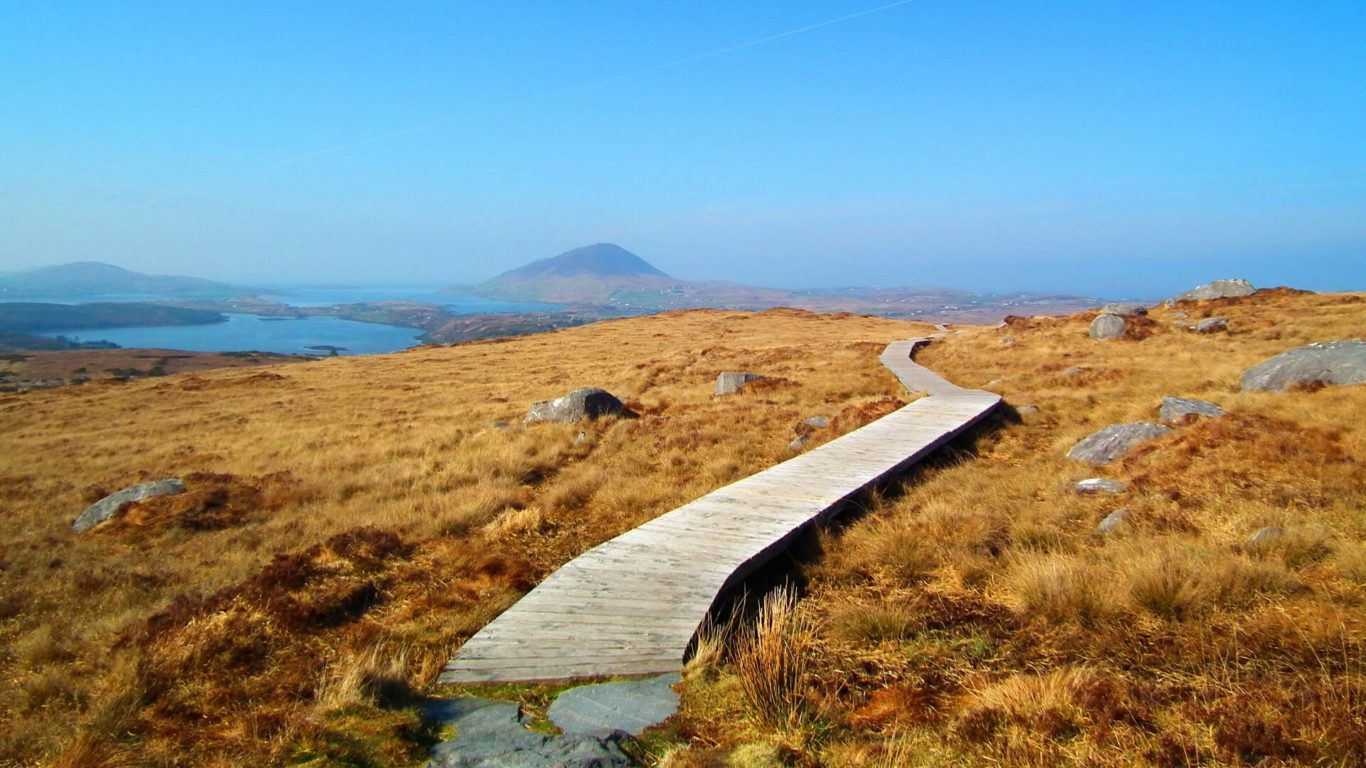
Located in Connemara National Park, Diamond Hill is one of the areas most popular and accessible walks. The Lower Diamond walk is a trail measuring 3 km with modest climbs along the route. This walk offers some fantastic views of Renvyle Bay. The Lower Diamond trail is not hugely challenging but it is a very rewarding experience and suitable for all levels.
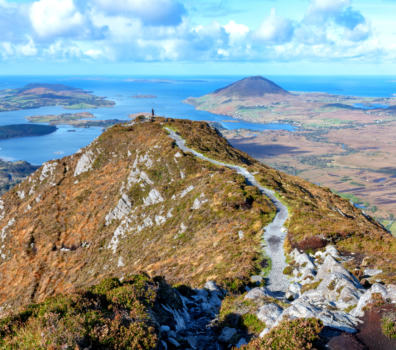
The Upper Trail is a continuation of the Lower Diamond walk which brings you to the summit of Diamond Hill. The entire circuit of Lower and Upper trails measures about 7km and you should allow 2.5 – 3 hours duration. At the summit you will be rewarded with panoramic vistas across all of Connemara. The Twelve Bens mountain range to the East, Tully Mountain & Renvyle Bay to the West, and Mweelrea Mountain to the North. Kylemore Abbey & Lough can be seen far down below the hill. This looped walk offers a truly incredible variety of scenery.
BALLYNAHINCH GREENWAY
12KM RETURN
DIFFICULTY: EASY
To get to the start of this walk, drive 11km out the N59 towards Galway, then take the right turn signposted to Ballynahinch. Drive past Ballynahinch Castle Estate (joining the R341), and continue on the road until you reach a T Junction. Here, you will see a car park directly in front of you at the T Junction, this is where you park and the Greenway begins.
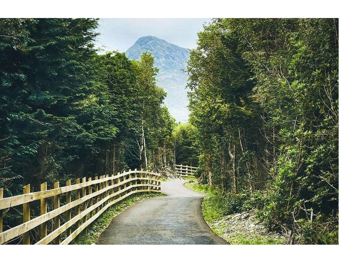
This is a 6km stretch of the Connemara Greenway offering woodland and forest walks, journeys through the lakes and bog, as well as up close exposure to the 12 Bens, particularly Ben Lettery. A mostly flat walk, it is suitable for all levels. It is also an enjoyable cycle route and there are benches at the beginning of the Greenway where you can enjoy a picnic before or after the trail.
